
VIRTUAL EXHIBITION
LANDSCAPES
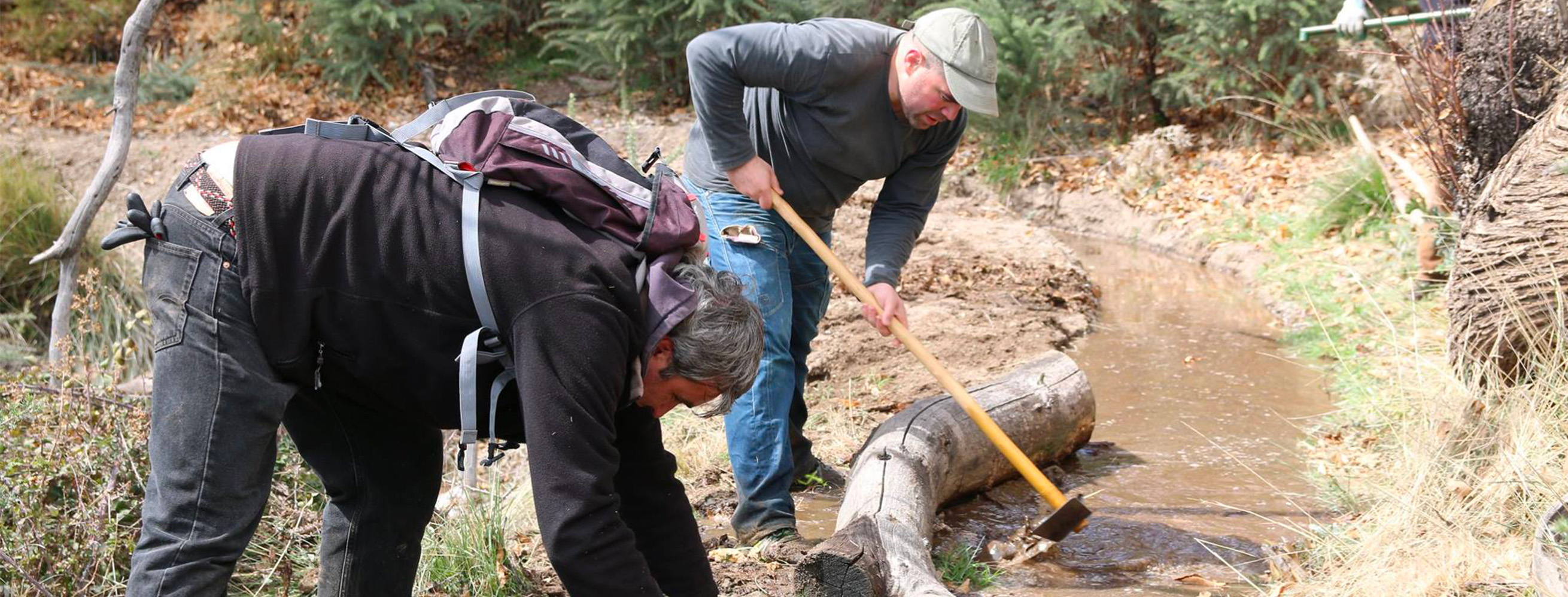
Title: Irrigators of the Cáñar community in the Barjas irrigation ditch; Year: 2022; Place: Cáñar (Granada); Author & Copyright: MEMOLab
Guadix lies in a semi-arid, pale, intramountainous depression between the Subbética and Penibética ranges in the province of Granada. But in Spring, as you look up to the Sierra Nevada, dark rocks and green slopes appear as far as the eye can see. An outsider might be charmed by these landscapes and perhaps credits nature for them. They would not be entirely mistaken, but there is more to it than that.
This region’s story is one of a symbiosis between nature and local communities, who has been able to develop and mantain the landscape since at least the 9th century AD and make it flourish through communal water management systems that are not only remarkably sustainable but also actively beneficial for the local ecosystem.
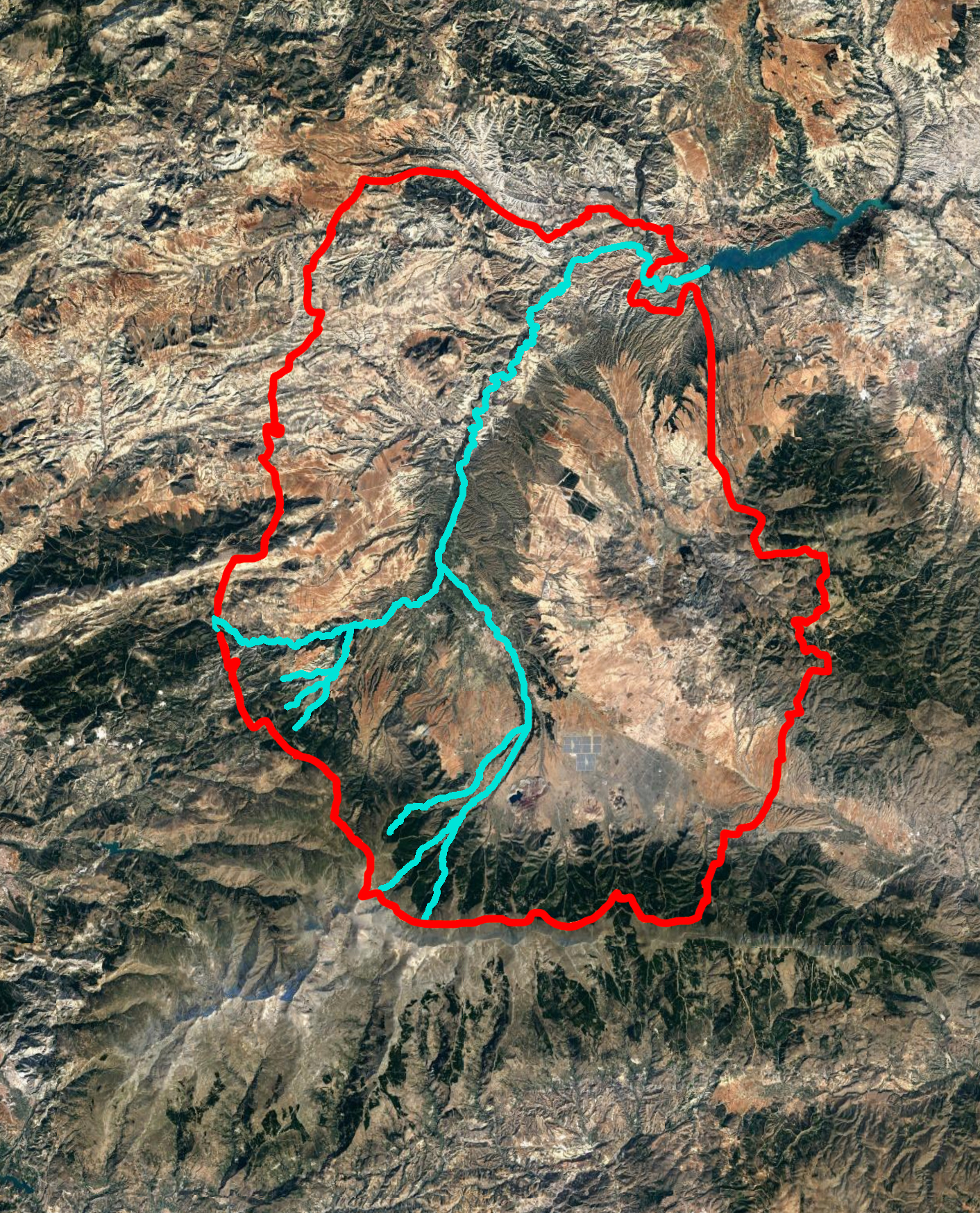
Title: Study area of the Río Verde valley, with its different tributaries; Year: 2023; Place: Comarca de Guadix (Spain); Author & Copyright: MEMOLab
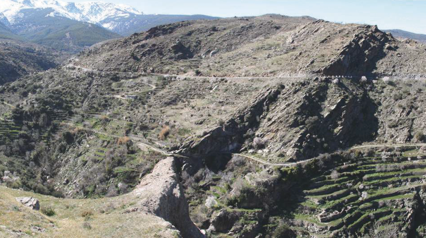
Title: terraced landscape with its ditch in the upper part; Year: 2020; Place: Abrucena, Almería (Spain); Author & Copyright: MEMOLab
ACEQUIAS
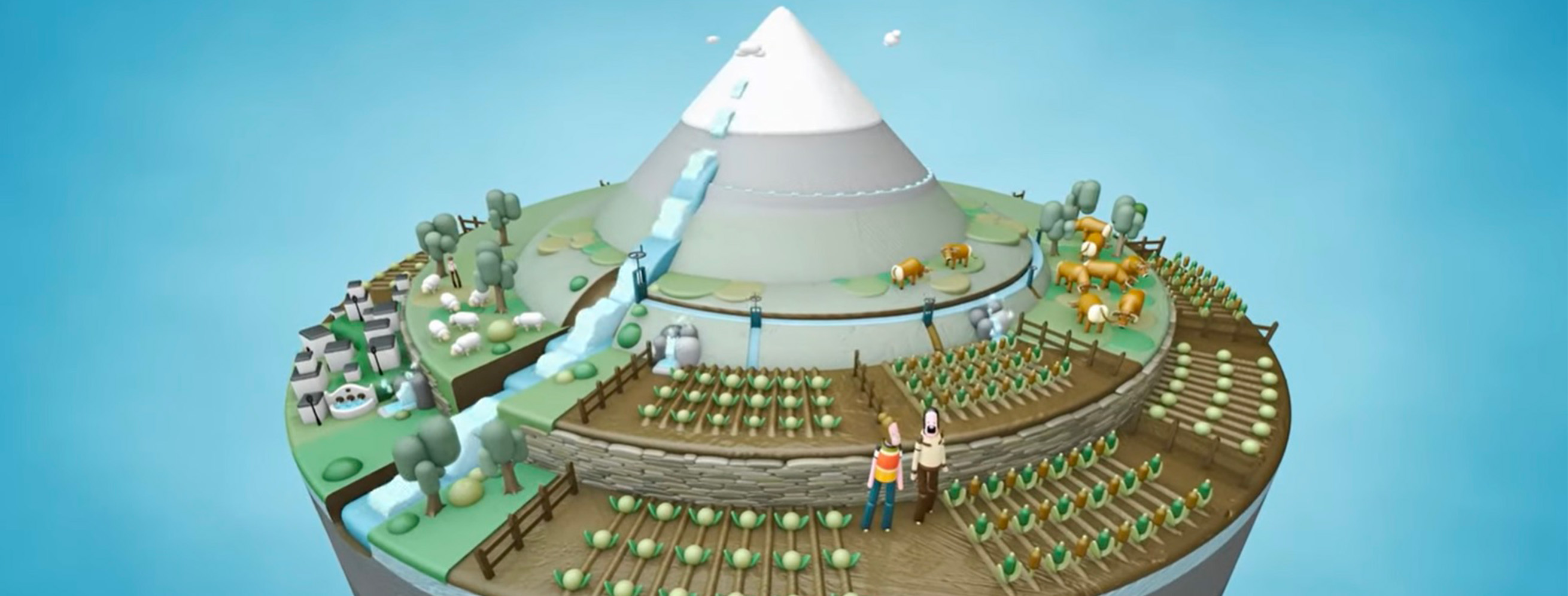
Los “Careos, Siembra y Cosecha del Agua en Sierra Nevada, España” (https://www.youtube.com/watch?v=_zXPQ1zg7fo), 2022 (CSIC-IGME-MEMOLab/UGR & DIPUTACIÓN DE GRANADA)
As testified by numerous archaeological sites – among them castles, hydraulic infrastructure and religious buildings – for many centuries the Guadix region has been inhabited by communities whose livelihoods have been linked to very sensitive and meticulous water management systems designed to support their agro-pastoral systems.
These systems have contributed to shaping the landscapes in a significant way, conditioning productive activities and territorial organization, including settlements and communication routes. Up in the mountains, melted snow is redirected down channels called acequias. Not only do these water the mountain slopes, creating pastures, they also artificially recharge aquifers, whose water gushes out of the earth hundreds of metres lower down in the valleys, where it is used again to irrigate highly productive agricultural fields.
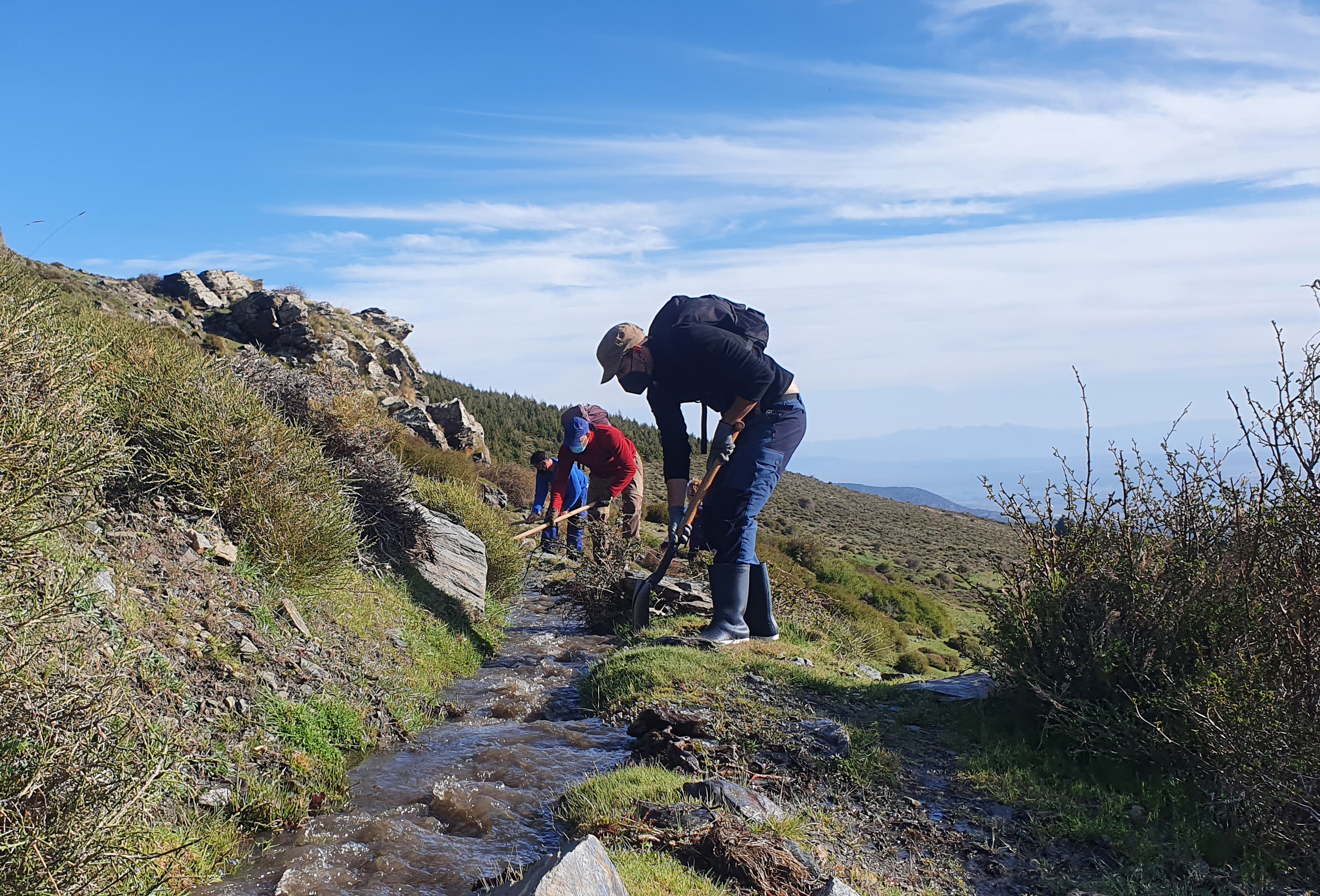
Title: Jaral irrigation ditch; Year: 2021; Place: Jérez del Marquesado; Author & Copyright: MEMOLab-UGR
The revival of some of these practices was achieved thanks to the cooperation of Guadix communities and the inter-generational transmission of traditional knowledge about water, soils, pastures and forests to which the IRIS project has contributed.
CHALLENGES
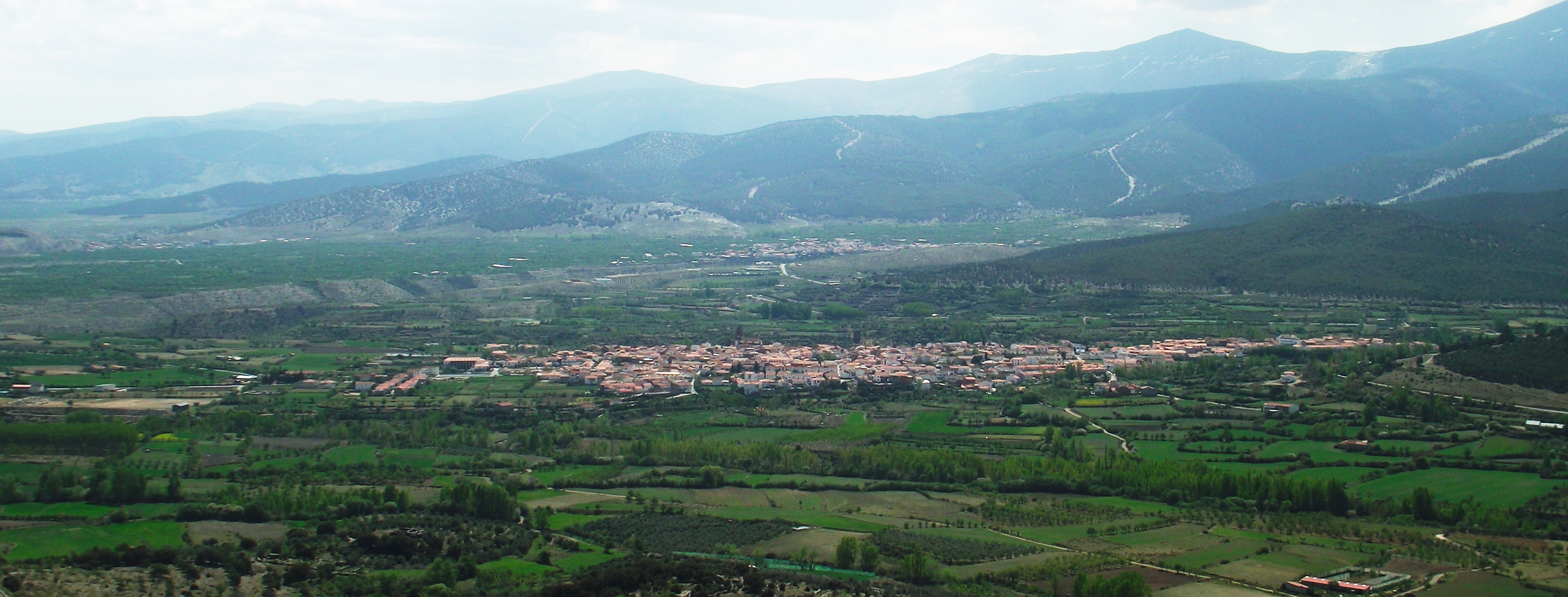
Title: View of Jerez del Marquesado and its irrigated land, from the top of the Peñón de Alrután; Year: 2023; Place: Jérez del Marquesado; Author & Copyright: José Abellán Santisteban
This immeasurable intangible treasure, which has the potential to contribute to a more sustainable way of life and to food production, as well as to the reduction of local temperatures in the face of global climate change, is nowadays threatened by massive depopulation.
Communities who have protected this territory for centuries are now forced to abandon it because of a lack of opportunity, leaving ever increasing space for irresponsible practices such as intensive agriculture and pig farming, which are slowly corrupting the ecobalance of the territory.
The best means of protection is to reactivate and energise traditional, sustainable and multi-functional agricultural production and to recognise its value both culturally and ecologically, implementing complementary payment mechanisms for land stewardship and leisure services. A good example of this is the co-creation of cultural trails along historical irrigation channels that raise awareness about the importance of these systems.
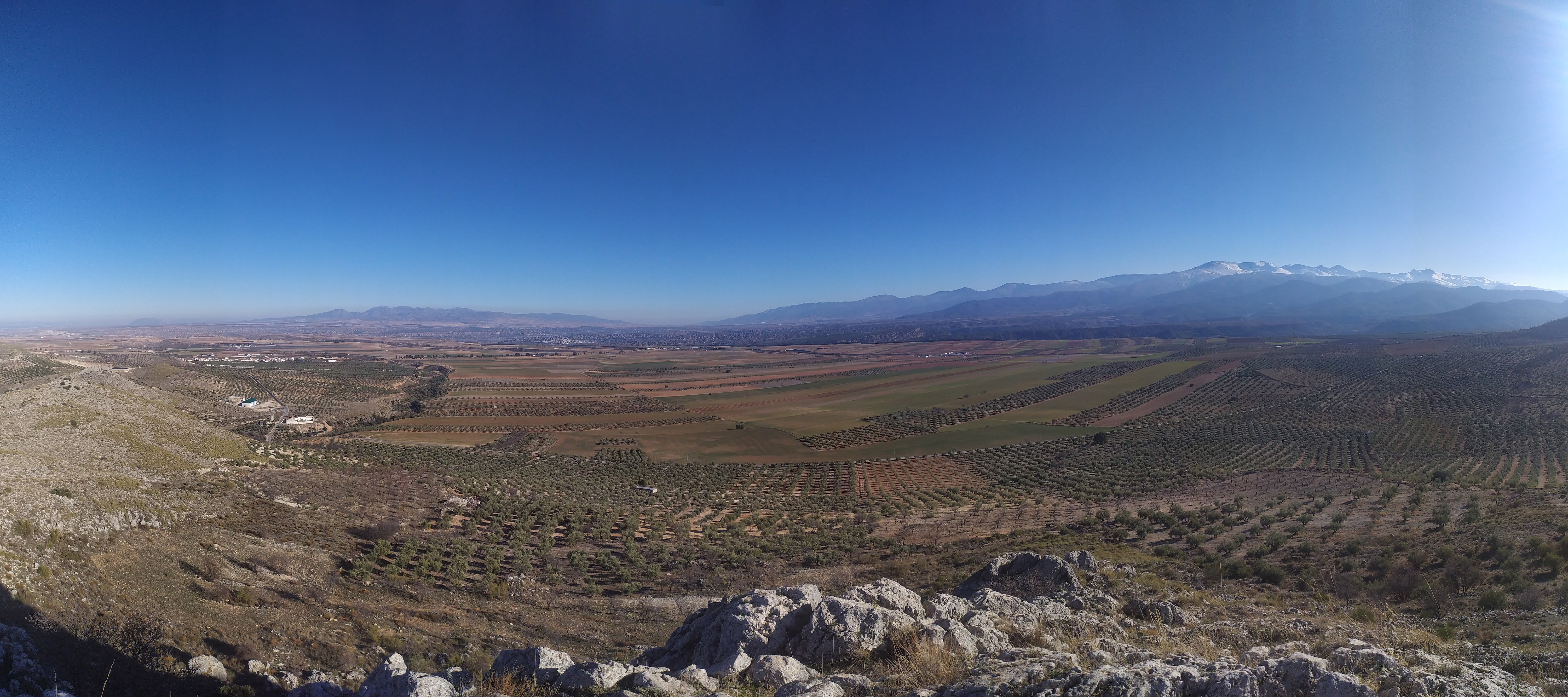
Title: View of the Guadix Region; Year: 2022; Place: Jolopos Castle (Spain); Author & Copyright: MEMOLab-UGR
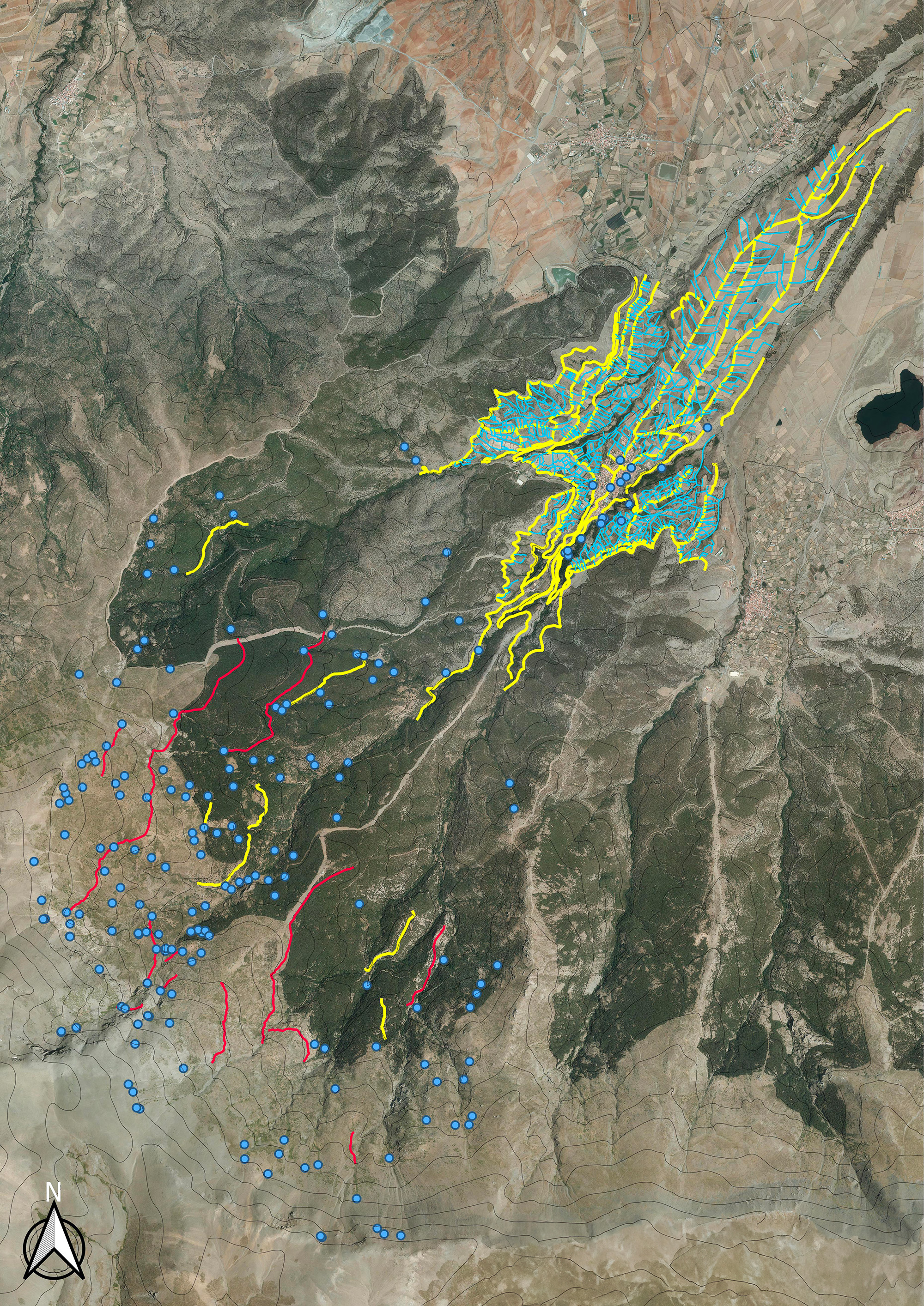
Title: Map of the irrigation systems and springs of Jérez del Marquesado; Year: 2023; Place: Jérez del Marquesado (Spain); Author & Copyright: José Abellán Santisteban
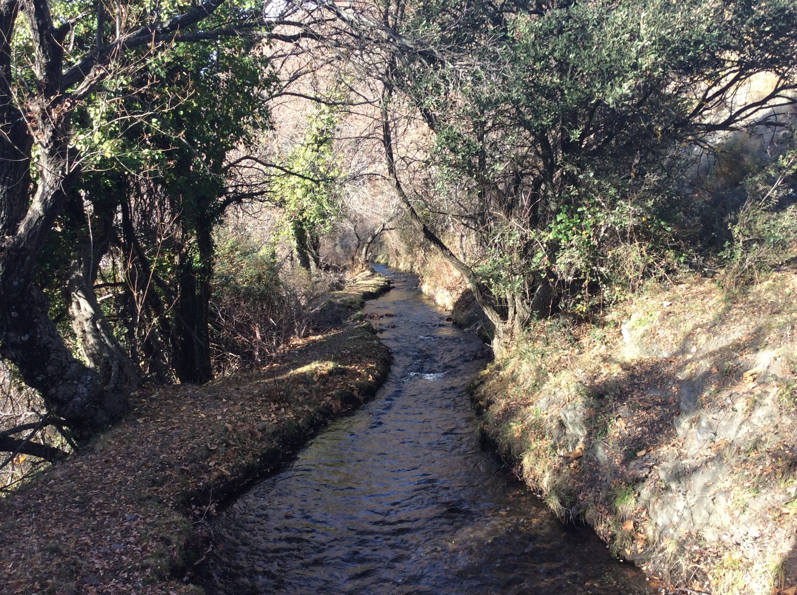
Title: Main ditch of the historical irrigation system of Alcázar; Year: 2021; Place: Jérez del Marquesado, Granada (Spain); Author & Copyright: MEMOLab
ALLIANCES
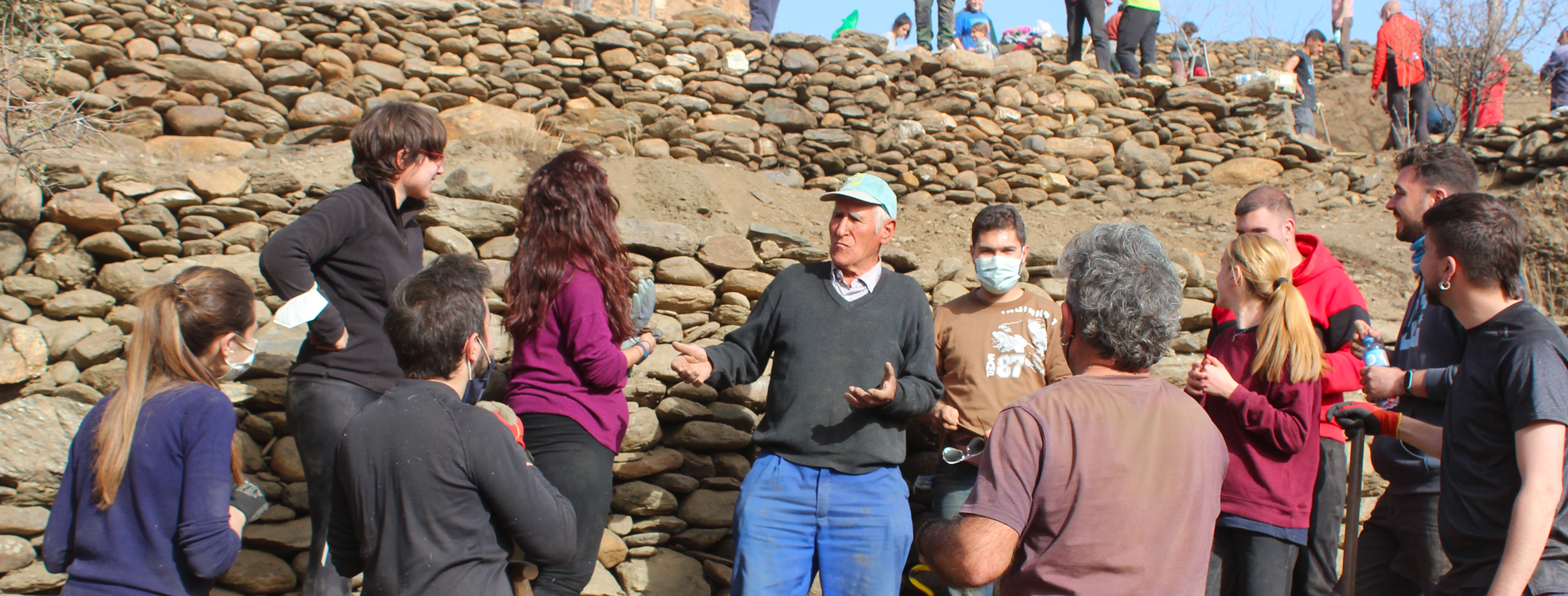
Title: Students attending to the teachings of the dry stone wall master; Year: 2019; Place: Tower of the Alcazar, Jérez del Marquesado (Spain); Author & Copyright: MEMOLab-UGR
Local communities can count on several allies, and IRIS researchers are in the front line here. Their intervention goes beyond documentation and research, using a participatory approach to reactivate and empower local communities, preserving and recovering abandoned agricultural spaces, and bringing to life the ancient settlements that created these landscapes.
In collaboration with local communities, our researchers have restored and monitored irrigation systems, recovered abandoned agricultural spaces and discovered new archaeological sites in order to demonstrate on a broader level their unique value and advocate for their urgent protection.
