- Sabina Ghislandi
- News
- Read Time: 1 min
- Hits: 2502
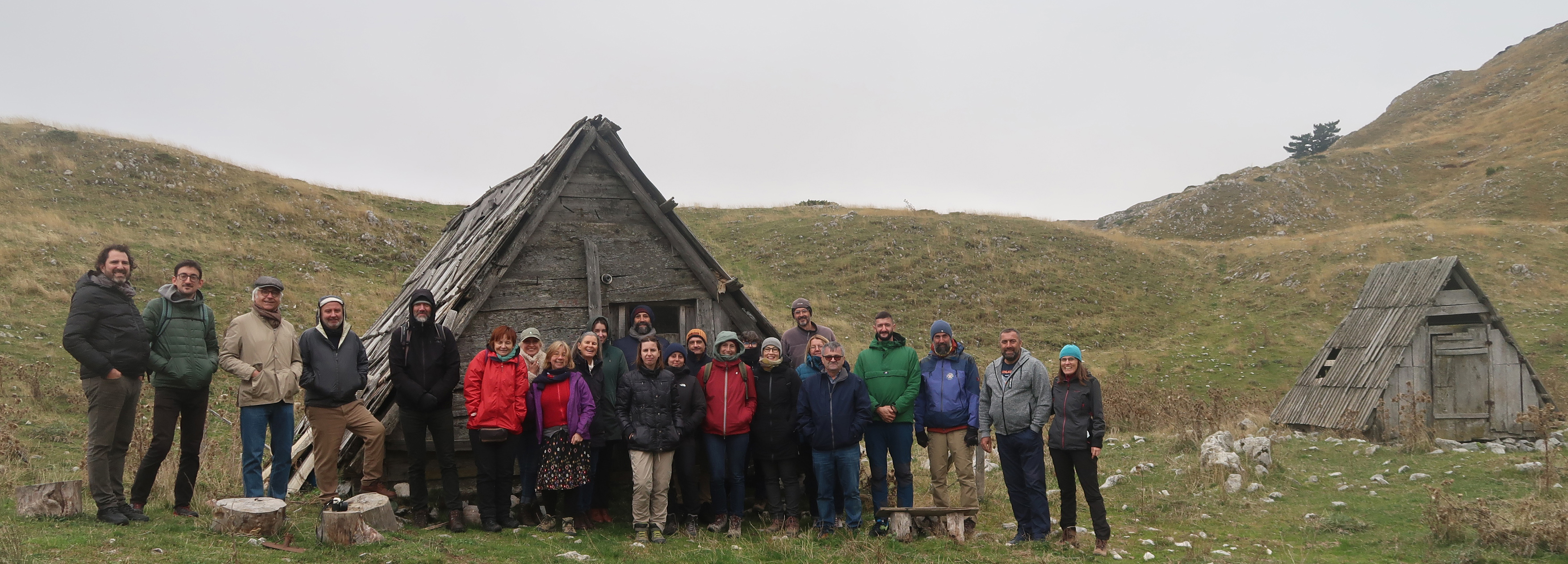
At the end of January, some researchers of IRIS project, in collaboration with LASA (Laboratory of Environmental History and Archaeology of the University of Genova), organised a workshop dedicated to students from different high schools of Liguria; the activity was part of the ministerial programme “PCTO - Pathways for the achievement of soft skills and orientation”.
The workshop, organised in two meetings, proposed a brief overview of the methodologies of historical and archaeological research, especially concerning about rural and landscape archaeology. Part of the meetings was dedicated to a mapping laboratory designed on the basis of the participatory mapping experience carried out with schools of Ligurian Apennines.
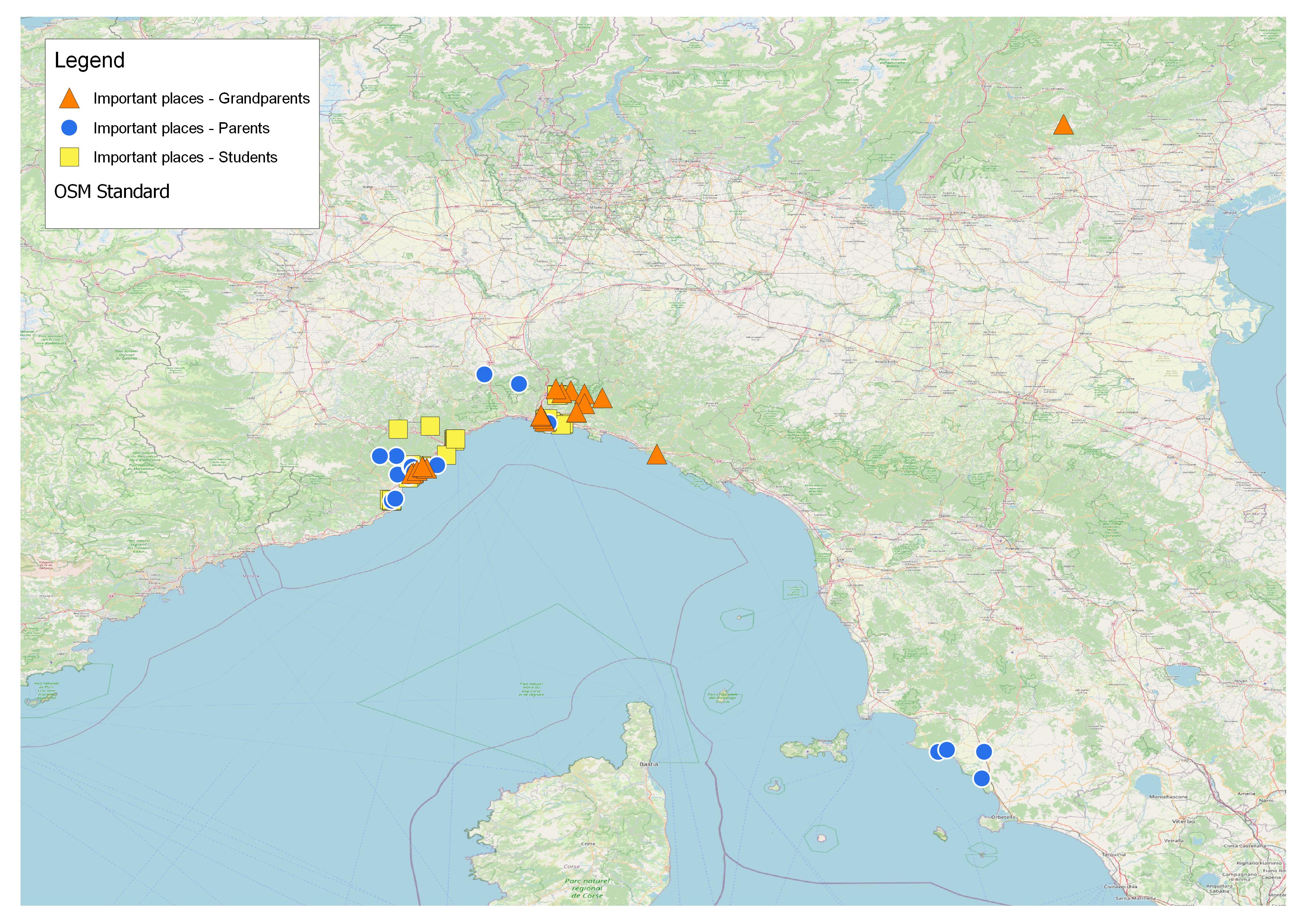
High school students worked on their territories (especially coastal location from Genova to Savona) to map their daily places and the places they consider important and which they would like to protect and pass on to the next generation; they also collected this information from their families through interviews. All the results were processed on a GIS project; this allowed to make some reflections on the different interpretations of the area held by community members. In addition, it was possible to discuss about the meaning of cultural heritage and the ways in which it can be protected and passed on the future generations.
Caterina Piu